Esri Ireland conference spotlights geospatial future
Mon, 11th May 2026 (Today)
Esri Ireland held its inaugural Building a Stronger Future conference in Dublin, drawing 450 delegates focused on Ireland's critical infrastructure.
Minister of State for Public Procurement, Digitalisation and eGovernment Frank Feighan opened the event at The Round Room in the Mansion House. It brought together geospatial specialists, industry figures and public sector stakeholders from across the island of Ireland.
The conference focused on the use of geographic information systems and location intelligence in infrastructure planning and management. Discussions covered housing, education, transport, clean energy, water, gas, electricity and high-speed connectivity.
Speakers and delegates explored how organisations are using geospatial systems to support decision-making and day-to-day operations. Examples presented included work by Dublin Airport, ESB, Fibrus, Northern Ireland Water and the Department of Housing.
The event also examined the role of artificial intelligence in infrastructure planning and development. Alongside panel discussions, Esri Ireland staff led sessions on geospatial tools and related technologies.
Public sector focus
The opening address highlighted the government's interest in digital tools for national infrastructure, with a focus on how location data can inform investment, service delivery and long-term asset management.
"Geospatial technology is becoming a cornerstone of how we plan, deliver and maintain critical infrastructure across Ireland. By harnessing accurate, real-time location data, we can make smarter, more efficient decisions that support sustainable growth, strengthen public services, and improve quality of life for our citizens," said Frank Feighan, Minister of State for Public Procurement, Digitalisation and eGovernment.
Ireland faces sustained pressure on infrastructure across transport, housing, utilities and communications networks. That has increased attention on digital systems that can help public bodies and operators track assets, model demand and identify gaps in coverage or resilience.
Geographic information systems are already widely used by utilities, transport operators and local authorities to map networks and support field operations. The conference reflected a wider effort to apply those systems more consistently to strategic planning as well as operational work.
Industry examples
Several organisations used the event to show how geospatial data is being integrated into decision-making. In sectors such as water, energy and aviation, location-based systems can help operators manage complex networks and physical infrastructure spread across large areas.
The mix of public and private sector case studies suggested a broadening market for geospatial software and related services in Ireland. It also pointed to demand from organisations facing regulatory pressure, infrastructure renewal and the need to coordinate investment more closely.
Esri Ireland has operated in Ireland and Northern Ireland since 2002 as the local provider of Esri's geographic information systems. It works with customers across government and industry, where mapping and spatial analysis are used to understand where events occur and how those patterns affect services and operations.
The conference marked a higher-profile effort to bring together users, policymakers and sector specialists around infrastructure themes. For Esri Ireland, it placed geospatial systems within a broader conversation about how Ireland plans and maintains essential networks during a period of significant capital spending.
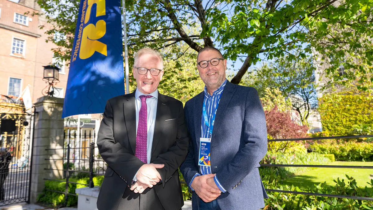
Paul Synnott, managing director of Esri Ireland, described the event as an important milestone for the business and its customer base.
"Our Building a Stronger Future conference was a landmark moment for Esri Ireland and our customers, and a powerful reflection of the strength of Ireland's geospatial community. Bringing together customers, partners, public sector leaders and industry experts to explore and showcase how we build a stronger future was both inspiring and energising. We were especially honoured to welcome Minister of State Frank Feighan, whose opening address clearly articulated the vital role geospatial technology will play in supporting Ireland's infrastructure development over the coming decade. I am deeply grateful to everyone who contributed to making the day such a success," said Paul Synnott, managing director of Esri Ireland.